GIS Web
We follow modified agile development methodology. The first
step is to analyze, plan and convert enterprise project’s
questions into GIS database to answer each part of questions
and finally combine them into a final answer. The next step is
to relate those questions and answers to the geographic data
which involves digitizing existing maps, obtaining and
translating electronic data, layering of data with adequate
quality and same coordinate system and overlay correctly to
track analysis result values.
Iqrasys Methodology
The final step is to communicate the results to people who do
not use GIS and who have different levels of experience in
dealing with maps. Maps, reports, and graphs are all used,
often together, to communicate the answer to the question.
Why us What you will have???
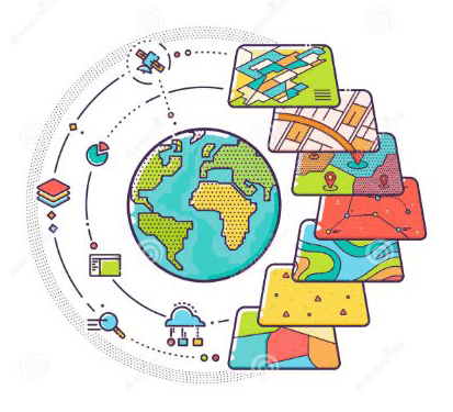
IqraGIS can integrate hardware, software, and data for
capturing, managing, querying, analyzing, and displaying all
forms of geographically referenced information. It allows
viewing, understanding, question, interpreting, and
visualizing data in many ways that reveal relationships,
patterns, and trends in the form of maps, globes,
applications, reports, and charts. It can be integrated into
any enterprise information system framework.
We analyze your data and relation and apply custom data
compression technique depending on your project output and
accuracy level. We apply our own technique to make your GIS
low cost both in-terms of financial and data size. Our expert
database engineer can design your geo-database in efficient
way.
